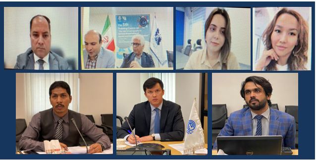
The Fifth International Specialized Training Course titled “The Role of Cartography in Optimal Presentation of Spatial and Statistical Information” was held virtually on August 7-8, 2023. The course was jointly organized by ECO and the National Cartographic Center of the Islamic Republic of Iran.
Inaugurating the session, Mr. Ali Javidaneh, Director General of National Cartographic Center (NCC) of the Islamic Republic of Iran briefed the participants about the role of cartography in optimal presentation of spatial and statistical information. He highlighted the spatial information as one of the key tools for planning and policy-making.
In his welcoming address Mr. Fuad Farzalibeyov, ECO Director for Environment, Minerals and Energy briefed that mapping and surveying, including geomatics is considered as one of the promising action areas from the ECO Secretariat’s perspective and cooperation in these fields can be an integral component of any ECO work programme.
In the first day of the event, Dr. Jafari Salim, Chief Instructor of NCC made a presentation on cartography, its history, and various types of it, rules of designing map, data collection, generalization and visualization in cartography. He also discussed how with the help of this knowledge ECO Member States can get benefit in the fields of energy, trade, transport, communication, environment, minerals, infrastructural planning and many others. In the second day of the event, NCC instructors gave detailed presentations on Topographic Map Series, Thematic Maps and National Atlases.